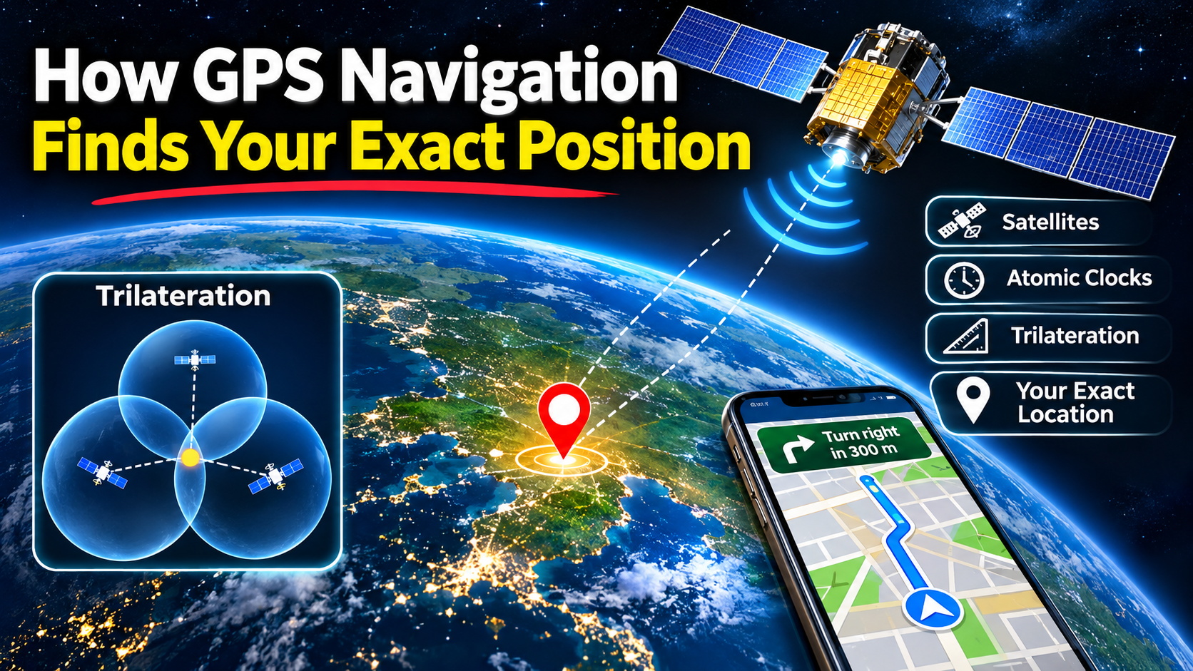

How GPS Navigation Finds Your Exact Position
Every time you open a navigation app, follow directions in your car, or check your position on a digital map, a remarkable system of satellites and mathematical calculations is working behind the scenes.
The Global Positioning System (GPS) allows receivers to determine their position, velocity, and time using radio signals transmitted from satellites orbiting Earth. But how does GPS actually work, and how can a smartphone locate you within just a few meters?

1. What Is GPS?
GPS is a satellite navigation system developed by the United States. It is one of several Global Navigation Satellite Systems (GNSS), alongside Europe’s Galileo, Russia’s GLONASS, and China’s BeiDou.
The GPS system operates through three main segments:
- Space segment: Satellites broadcasting navigation signals from orbit.
- Control segment: Ground facilities monitoring satellites, maintaining their orbital information, and supporting clock synchronization.
- User segment: Receivers inside smartphones, cars, aircraft, ships, and surveying equipment.
GPS satellites operate at an altitude of approximately 20,200 kilometers. They travel in medium Earth orbit and complete roughly two orbits each day.

2. How Does GPS Determine Your Location?
One of the most interesting facts about GPS is that a normal GPS receiver does not need to transmit signals to satellites to calculate its position.
Instead, the receiver listens to signals transmitted by satellites. These signals contain precise timing information and data describing satellite positions.
The receiver measures when each signal arrives and estimates the distance traveled by the radio wave.
Distance = Signal travel time × Speed of light
Because radio waves travel at approximately 299,792 kilometers per second in a vacuum, tiny timing differences correspond to enormous distances.
For example, a signal traveling for 0.07 seconds covers approximately 21,000 kilometers.
However, the receiver’s clock is not perfectly synchronized with the satellites, so its initial measurements include clock error. These measurements are called pseudoranges.
3. Why Does GPS Need Four Satellites?
GPS uses a positioning technique known as trilateration, which determines a location from measured distances.
A receiver generally needs signals from at least four satellites to calculate its three-dimensional location and correct its clock offset.
- Latitude: How far north or south the receiver is located.
- Longitude: How far east or west the receiver is located.
- Altitude: The receiver’s approximate height relative to a reference surface.
- Clock offset: The difference between the receiver’s internal clock and GPS system time.

With more satellite measurements, receivers can often improve reliability and estimate positioning errors more effectively.
4. Why Are Atomic Clocks Important?
GPS positioning depends on exceptionally accurate timing.
A clock error of just one microsecond corresponds to approximately 300 meters of radio signal travel. Even smaller timing differences can affect positioning accuracy.
GPS satellites carry highly precise atomic clocks. Receivers use satellite timing information and mathematical corrections to determine their own clock offset.
The system also accounts for effects predicted by Einstein’s theories of relativity. Differences in gravitational potential and satellite motion affect the passage of time.
These corrections are essential for accurate satellite navigation.
5. How Accurate Is GPS?
Under favorable outdoor conditions, consumer GPS-enabled devices can often determine their position within several meters.
However, GPS is not perfectly accurate in every environment.
| Condition | Effect on GPS Accuracy |
|---|---|
| Open sky | Usually provides favorable satellite reception. |
| Tall buildings | Can block or reflect signals, creating errors. |
| Tunnels | Often block direct satellite reception. |
| Dense forests | Can weaken or obstruct radio signals. |
| Atmospheric effects | Can alter signal travel time. |
| Poor satellite geometry | Can increase uncertainty in the calculated position. |
Specialized correction technologies, including Real-Time Kinematic (RTK) positioning, can achieve centimeter-level accuracy under suitable conditions. These systems are useful for surveying, construction, and precision agriculture.
6. How Smartphones Make Navigation More Accurate
Modern smartphones frequently combine satellite signals with other technologies to provide a faster and more reliable position estimate.
- Assisted GPS: Uses network assistance to obtain satellite information more quickly.
- Wi-Fi positioning: Estimates location using nearby wireless networks.
- Cellular positioning: Uses mobile network infrastructure to help estimate position.
- Accelerometers and gyroscopes: Measure motion and orientation.
- Multi-GNSS support: Allows compatible devices to receive signals from multiple satellite constellations.
This combination is especially valuable in cities where tall buildings can make direct satellite reception difficult.
7. How GPS Becomes Turn-by-Turn Navigation
GPS itself determines a position. Navigation applications take that information and turn it into driving, cycling, or walking directions.

When you enter a destination, navigation software analyzes a digital map containing roads, intersections, speed limits, restrictions, and other information.
Routing algorithms select a path based on the available road network, travel preferences, and sometimes live traffic conditions.
As the vehicle moves, the application updates its estimated position and compares it with the planned route.
A technique called map matching helps identify which road the vehicle is most likely traveling on, even when satellite measurements contain small errors.
If you miss a turn, the navigation application can calculate a different route.
8. Can GPS Work Without the Internet?
Yes. GPS positioning itself does not require an internet connection.
A receiver can obtain satellite signals and calculate its position without cellular data or Wi-Fi, provided sufficient satellite signals are available.
However, navigation applications may need an internet connection to download maps, receive traffic updates, or search for destinations.
Downloading offline maps in advance can make navigation possible in remote locations without mobile data.
9. The Future of Satellite Navigation
Satellite navigation technology continues to evolve through improved satellite signals, multi-frequency GNSS receivers, more accurate correction services, and integration with additional sensors.
Potential applications include autonomous vehicles, delivery drones, precision farming, emergency response, aviation, and surveying.
Still, satellite navigation faces challenges such as radio interference, signal spoofing, obstructed reception, and reflected signals. Safety-critical systems therefore often combine GNSS with other positioning technologies.
Conclusion
GPS is one of the most impressive everyday applications of space technology. By combining satellite signals, extremely precise clocks, radio-wave measurements, and mathematical positioning techniques, it enables devices to determine where they are almost anywhere on Earth.
The next time a navigation application shows your position moving along a road, remember that the familiar blue dot is supported by sophisticated engineering taking place thousands of kilometers above you.
Sources and Image Credits
- GPS.gov — Official GPS Information
- NIST — Measuring Location Using GPS
- European Space Agency — Satellite Navigation
- Satellite Illustration — U.S. Air Force, Public Domain
- GNSS Satellite Fleet — NASA, Public Domain
- Trilateration Diagram — Javiersanp, License and Attribution
- In-Car Navigation Image — Public Domain