


The History of Maps: From Ancient Charts to GPS
History • Geography • Exploration • Technology


7
Maps are among humanity’s most important inventions. Long before smartphones, satellites, or digital navigation systems, people were drawing representations of their surroundings to understand the world, find routes, establish boundaries, and explore unfamiliar territories.
From ancient clay tablets and hand-drawn sea charts to modern satellite imagery and GPS technology, the history of maps is a fascinating story of human curiosity, scientific discovery, and technological progress.
Today, billions of people use digital maps to navigate roads, explore cities, and understand distant places. Yet every modern mapping application builds upon ideas developed over thousands of years.
1. Ancient Maps: The First Attempts to Understand the World


The Babylonian Map of the World, also known as the Imago Mundi, is one of the oldest surviving representations of the known world.
The earliest maps were not created using scientific instruments or satellite measurements. Instead, ancient civilizations relied on observation, memory, storytelling, and practical knowledge.
People drew rivers, mountains, agricultural lands, settlements, and trade routes on materials such as clay, stone, and papyrus.
One remarkable example is the Babylonian Map of the World, dating approximately to the sixth century BCE. This clay tablet depicts Babylon and surrounding regions within a circular world surrounded by water.
Other civilizations also developed important cartographic traditions:
- Ancient Egyptians produced maps for mining, land administration, and other practical purposes.
- Mesopotamians created plans of settlements, fields, and surrounding territories.
- Ancient Chinese cartographers developed increasingly sophisticated maps for administration, transportation, and military planning.
- Greek geographers introduced mathematical approaches to understanding Earth’s shape and geographic coordinates.
These early maps were not always geographically accurate, but they established a revolutionary concept: physical space could be represented, studied, and communicated visually.
2. Ancient Greece: The Birth of Scientific Cartography


The ancient Greeks transformed cartography from practical drawings into an increasingly mathematical discipline.
Greek scholars investigated Earth’s circumference, the relationships between geographic locations, and methods for representing a spherical planet on a flat surface.
Among the most influential figures were:
Anaximander (sixth century BCE)
Traditionally credited with creating one of the earliest Greek maps of the inhabited world.
Eratosthenes (third century BCE)
Estimated Earth’s circumference using observations of sunlight and geometry. His achievement demonstrated that the planet’s dimensions could be investigated scientifically.
Claudius Ptolemy (second century CE)
Developed a systematic approach to geography using latitude and longitude. His work, Geographia, became enormously influential in later cartographic traditions.
Ptolemy also discussed methods of converting locations on a curved Earth into a two-dimensional map, an essential challenge that mapmakers still face today.
3. The Islamic Golden Age: A Major Advancement in Geography


Medieval Islamic cartographers helped preserve, critique, and extend geographic knowledge through observation, scholarship, and travel.
Between the eighth and fifteenth centuries, scholars working across the Islamic world contributed greatly to geography and mapmaking.
Their achievements included compiling geographic coordinates, describing trade routes, measuring distances, and documenting regions of Africa, Asia, and Europe.
One of the most famous cartographers was Muhammad al-Idrisi, who created a sophisticated geographical work for King Roger II of Sicily in 1154.
His world map and accompanying geographic descriptions formed part of what became known as the Tabula Rogeriana.
Al-Idrisi drew upon earlier geographical scholarship as well as reports from travelers and merchants. His work represented a major medieval synthesis of geographical knowledge.
Other influential scholars included Al-Khwarizmi, whose geographical work built upon and revised earlier coordinate traditions, and Al-Biruni, who made important contributions to geodesy and the measurement of Earth.
These achievements illustrate how geographic knowledge developed through exchanges between different civilizations.
4. Medieval Sea Charts: Navigation Becomes More Practical


As maritime commerce expanded, sailors required maps that could help them navigate coastlines, harbors, and trade routes.
Portolan charts, which appeared in the Mediterranean during the late medieval period, were especially significant.
These navigation charts often featured detailed coastlines, labeled ports, compass roses, and networks of directional lines.
Unlike many symbolic medieval world maps, portolan charts focused on practical maritime navigation.
They helped mariners plan journeys between coastal destinations and became increasingly important as commercial shipping expanded.
5. The Age of Exploration: Mapping the Oceans


During the fifteenth and sixteenth centuries, long-distance ocean voyages transformed European cartography.
Explorers, navigators, and mapmakers gradually expanded European geographic knowledge of Atlantic coastlines, the Americas, and ocean routes around Africa.
Important developments included improvements in compass navigation, astronomical observations, nautical chartmaking, and the recording of discoveries made during voyages.
However, the expansion of European maps did not mean these lands were previously unknown. Indigenous peoples had their own detailed geographic knowledge, navigation traditions, and spatial representations.
The period also involved colonization, territorial claims, and competition over maritime trade.
Maps consequently became powerful instruments not only for exploration, but also for politics, commerce, and imperial expansion.
6. The Mercator Projection: A Cartographic Revolution


In 1569, the Flemish cartographer Gerardus Mercator introduced a world map that would become one of history’s most influential cartographic designs.
The Mercator projection allowed lines of constant compass bearing, called rhumb lines, to appear straight on a map.
This property was particularly valuable for marine navigation.
However, the projection introduced a major limitation: land areas become increasingly exaggerated toward the poles.
For example, Greenland looks much larger relative to Africa on a Mercator map than it actually is.
The projection demonstrates a fundamental principle of cartography: every flat map of the spherical Earth involves compromises.
Smithsonian Magazine
7. The 18th and 19th Centuries: Maps Become More Accurate


Scientific advances in surveying, astronomy, mathematics, and printing transformed mapmaking during the eighteenth and nineteenth centuries.
Governments and scientific organizations increasingly undertook systematic geographical surveys.
These projects produced more detailed representations of cities, roads, coastlines, rivers, and mountain ranges.
Triangulation was an especially important technique. Surveyors measured angles between known points, allowing them to determine positions across large territories.
Topographic maps also developed, using contour lines and elevation markings to represent the shape of the landscape.
Standardized mapping became essential for engineering, infrastructure, national administration, military planning, and scientific research.
8. The 20th Century: Aerial Photography and Satellite Mapping


The invention of aircraft dramatically changed how cartographers collected information.
Instead of depending entirely on ground surveys, mapping organizations could photograph large territories from above.
Aerial photography and photogrammetry made it possible to create detailed maps of landscapes, cities, roads, and agricultural areas.
Later, artificial satellites took this revolution even further.
Satellite imagery allowed scientists to observe Earth’s surface on an enormous scale, monitor changes over time, and study regions that were difficult to access.
The first Landsat satellite, launched in 1972, marked a major milestone in civilian Earth observation.
Satellite-based mapping helped transform environmental monitoring, agriculture, disaster management, and geographic research.
9. GPS: When Maps Became Interactive


The development of the Global Positioning System changed navigation permanently.
GPS emerged from American military and scientific research in satellite positioning and navigation.
The first NAVSTAR GPS satellite was launched in 1978, and the system reached full operational capability in 1995.
NASA
+1
Unlike a traditional paper map, a GPS receiver can determine its position using radio signals transmitted from satellites.
How GPS works
Satellites transmit signals containing precise timing and orbital information.
A receiver measures signal travel time to estimate distances from multiple satellites.
Position is calculated using signals from typically four or more satellites.
Digital map software displays the location and can calculate routes using geographic data.
Modern satellite navigation is broader than GPS alone. Other global navigation satellite systems include Europe’s Galileo, China’s BeiDou, and Russia’s GLONASS.
Together, these technologies support smartphones, aircraft, ships, transportation networks, and numerous scientific applications.
10. Digital Maps: The World in Your Pocket


Digital cartography combines satellite positioning, geographic information systems (GIS), aerial imagery, road databases, and increasingly sophisticated software.
Modern mapping platforms such as Google Maps and Apple Maps allow users to search for destinations, receive directions, view traffic information, and explore locations around the world.
Unlike printed maps, digital maps can be updated as roads, buildings, and geographic information change.
They can also offer multiple map layers, including terrain, satellite imagery, road networks, and public transportation.
This has transformed maps from static reference objects into dynamic systems that support everyday decisions.
11. The Future of Mapping: AI, 3D Models, and Autonomous Navigation


The next generation of mapping technology is moving beyond conventional two-dimensional images.
Artificial intelligence can help identify roads, buildings, vegetation, and geographic changes in large collections of imagery.
Three-dimensional city models and digital twins can support urban planning, infrastructure management, and disaster preparedness.
Autonomous vehicles combine detailed mapping with cameras, radar, lidar, and positioning systems to interpret their surroundings.
Meanwhile, new mapping techniques are being developed for environments where satellite navigation is unreliable, including tunnels, indoor spaces, and other challenging locations.
Maps are becoming increasingly detailed, interconnected, and responsive to changes in the physical world.
12. Timeline: The Evolution of Maps
| Period | Major milestone |
|---|---|
| Ancient civilizations | Clay tablets, land plans, and early world maps |
| 3rd century BCE | Eratosthenes estimates Earth’s circumference |
| 2nd century CE | Ptolemy develops systematic geographic coordinates |
| 1154 | Al-Idrisi completes his influential geographical work |
| 13th–15th centuries | Portolan nautical charts become widely used |
| 1569 | Mercator introduces his famous world projection |
| 18th–19th centuries | Scientific surveying and topographic mapping expand |
| Early 20th century | Aerial photography revolutionizes surveying |
| 1972 | First Landsat satellite launches |
| 1978 | First NAVSTAR GPS satellite launches |
| 1995 | GPS reaches full operational capability |
| 2000s–2020s | Smartphone navigation, digital maps, AI, and 3D mapping expand |
Conclusion: Humanity’s Journey from Clay to Satellites
The history of maps reflects humanity’s determination to understand the world.
Ancient civilizations recorded their surroundings on clay and papyrus. Greek scholars introduced mathematical geography. Islamic geographers expanded geographical knowledge. Mariners developed increasingly practical nautical charts, while scientific surveyors brought greater precision to national maps.
Eventually, aircraft, satellites, and computers transformed mapmaking into a global digital technology.
What once required generations of exploration and observation can now be accessed almost instantly through a smartphone.
Yet the essential purpose of maps remains unchanged: to help us understand where we are, where we want to go, and how the world around us is connected.
SEO details for WordPress
SEO title
The History of Maps: From Ancient Charts to GPS
Meta description
Explore the history of maps, from ancient Babylonian charts and medieval cartography to satellite imagery, GPS navigation, and digital mapping.
URL slug
history-of-maps-ancient-charts-to-gps
Focus keyword
History of Maps
Suggested category
History / Geography / Technology
WordPress tags
History of Maps, Cartography, Ancient Maps, World Maps, Geography, Historical Maps, GPS, Satellite Navigation, Digital Maps, Mercator Projection, Ptolemy, Al-Idrisi, Exploration, Mapmaking, GIS
Recommended featured image


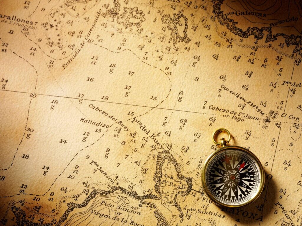
Suggested featured-image concept: the evolution of cartography, from antique world maps to modern digital navigation. Recommended WordPress dimensions: 1200 × 675 pixels.
For publication, use appropriately licensed images or original artwork; the historical reference images above are not automatically cleared for reuse.
Suggested image alt text: The evolution of maps from ancient cartography and nautical charts to modern GPS satellite navigation.
Create complete copy-ready WordPress HTMLCreate the post thumbnail